What and where is Ninh Binh?
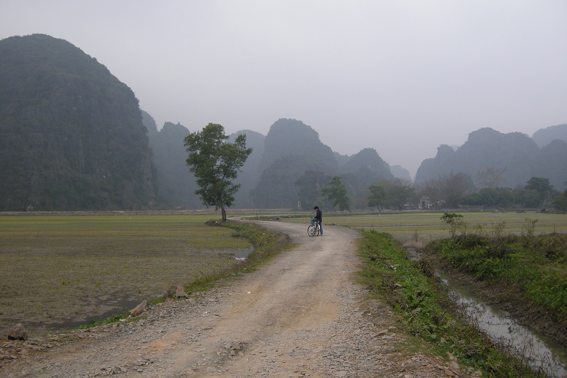
Ninh Binh is a province in northern Vietnam, about 95-100 km south of Hanoi. Its star attraction is a landscape of limestone karst mountains rising out of flat rice plains, cut through by slow, clear rivers, the scenery that earns it the nickname "Ha Long Bay on land".
Where exactly is Ninh Binh?
The province sits in the Red River Delta, roughly two hours by road or rail from Hanoi. Most travellers base themselves around two small hubs: Tam Coc (the most popular village, packed with homestays and restaurants) and Trang An / Ninh Binh city. From either base, the major sights are within a 30-minute drive of each other. See our getting-around guide for how to move between them.
Ninh Binh, Hoa Lu or Tam Coc, what's the difference?
These names confuse first-timers. Here's the simple version:
| Name | What it means |
|---|---|
| Ninh Binh | The whole province (and its main city). The umbrella term for the region. |
| Hoa Lu | The district that holds most of the famous scenery, and the name of the ancient capital of Vietnam (10th-11th century). |
| Tam Coc | A village and a famous boat tour through three caves, the tourist heart of the area. |
| Trang An | The UNESCO-listed landscape complex, with the most spectacular boat route. |
The landscape in one paragraph
Picture emerald rivers winding between sheer limestone cliffs, boats rowed through low caves, golden rice fields in the foreground, and temples and pagodas tucked into the rock. Add a 500-step climb to the Mua Cave viewpoint for the postcard panorama, and the vast Bai Dinh pagoda complex nearby. That's Ninh Binh.
In short: Ninh Binh is a compact, affordable, deeply scenic region that works as a day trip or a two-night stay. Next, see whether it fits your trip.